

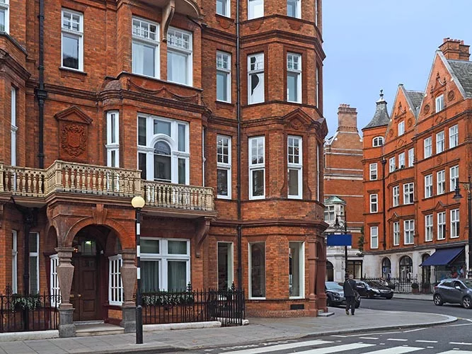
The streets of London are rich in history. Hidden within street names are the occupations, owners, and even hobbies of the people who lived there centuries ago. Discover the extraordinary origins of London street names.
Even after four years of living in London, I’m still discovering the rich history of this city which dates back to Roman times. As I commute to work each day, I’ve always wondered how certain streets and areas get their name which always leads to an impromptu Google search. With that in mind, I decided to bring together this post on London street names history that is sure to please both locals and anyone visiting London.
Starting in alphabetical order:
1. Aldgate
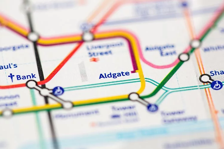
Aldgate was one of the six Roman gates into London, it means the Old Gate. It was demolished in 1762.
2. Aldwych
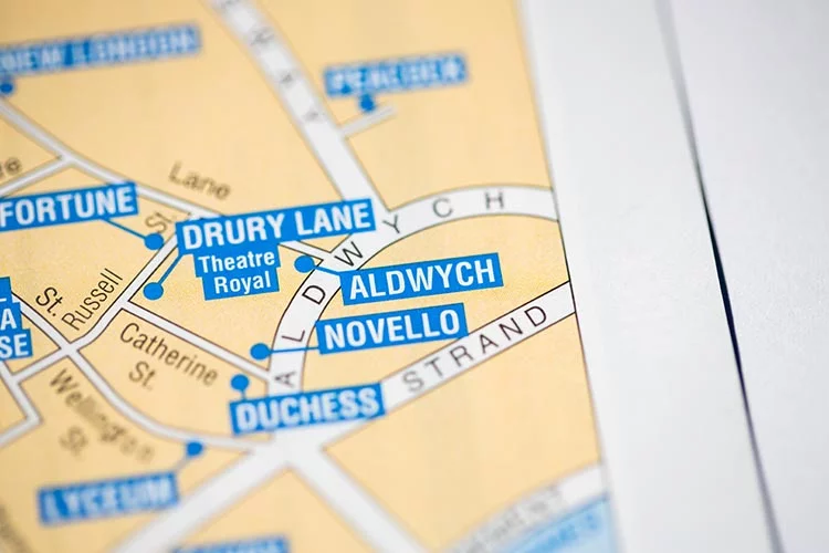
This crescent-shaped road was opened in 1905 following the clearance of the slums that existed northwards to High Holborn. Danes were given territory here by Alfred the Great in the late ninth century after he defeated them. It became known as Aldwic (Old Village), and then Aldewich, and one of the roads through the area was eventually Aldwych Lane. It is thanks to George Gomme a historian and clerk of the London County Council that the name was reused for the new road.
3. Artillery Row
It comes as no surprise that this area was used for artillery practice in the time of Elizabeth I.
4. Bayswater
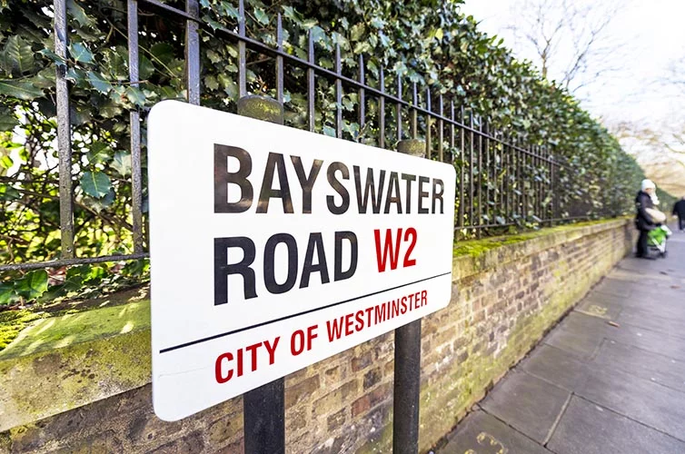
The springs in the area were known as Bayard’s Watering, possibly after the Bayard family who lived nearby. A map of 1754 shows the name contracted to Bay’s Watering. They were located to the north of the Bayswater Road, and just to the west of the site of Lancaster Gate station.
5. Blackfriars Bridge/Lane
In 1278 a Dominican monastery (founded in 1221, and situated in Show Lane) was given land on the north bank of the river Thames. The monks were known as the Black Friars and hence the area around the monastery acquired this name over time. It lasted until the Dissolution in 1538.
6. Bread Street
The City of London’s break market was founded in 1302 by order of King Edward I. He decreed that henceforth all bread must be sold in the market, and not from the bakers’ homes. Bread Street is located just off the main market street of Cheapside.
7. Brick Lane
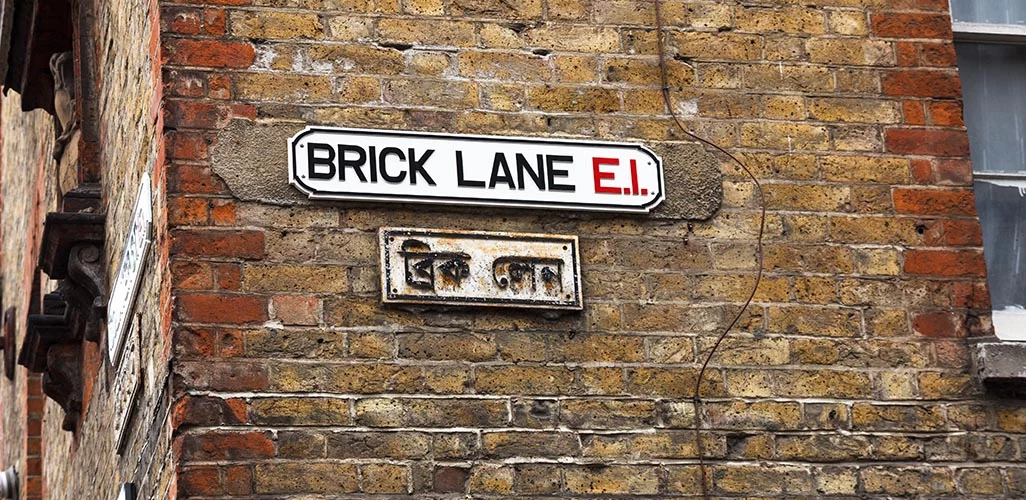
In the fifteenth-century brick and tile manufacturing began in this area using the local clays. The street began to be developed from south to north in the seventeenth century.
8. Chancery Lane
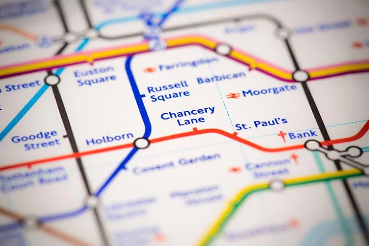
A corruption of Chancellor’s Lane, a name adopted in 1377. The official document of the Lord Chancellor’s office, the Rolls of the Court of Chancellory (later corrupted to Chancery), were stored here from the 1920s.
9. Cheapside
‘Cheap’ is derived from the Old English word for market ‘ceap’. It was along this street that one of the main produce markets in the City of London was to be found in the eleventh century. The other, to the east, was the Eastcheap.
10. Clerkenwell Road
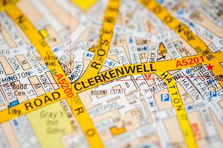
The Clerk’s Well, after which both the road and the district are named, can still be seen through a window in the front of a building on Farringdon Road, just north of the junction with Clerkenwell Road. The well was fed by a spring, and served the locality until Victorian times.
11. Conduit Street
This street was built on land owned by the City of London, and known as the Conduit Mead Estate. This estate dated back to the fifteenth-century, and was purchased to protect the supply of water to the City, piped via conduits.
12. Covent Garden
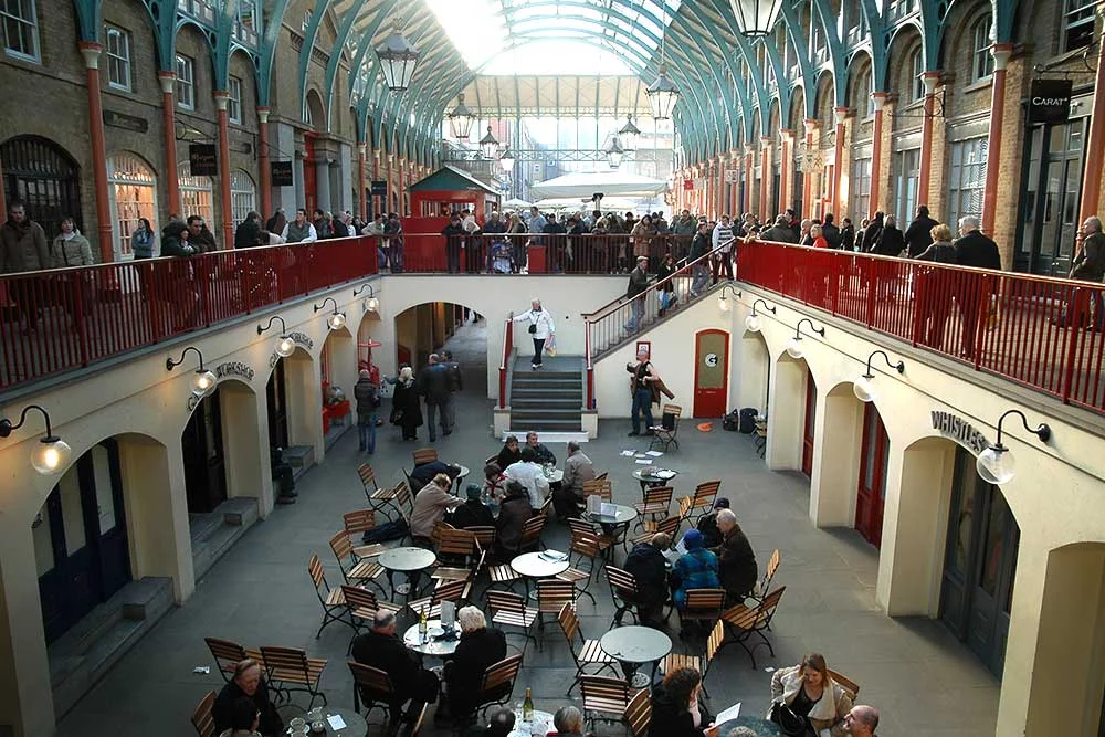
The land in this area was owned by Westminster Abbey. Mostly pasture, the central portion was walled off as a garden and hence was the Covent Garden. After the Dissolution the land was seized by the King, and granted to the Earl of Bedford who developed it. The central piazza was designed by Inigo Jones, and was the first of its kind in London.
13. Downing Street
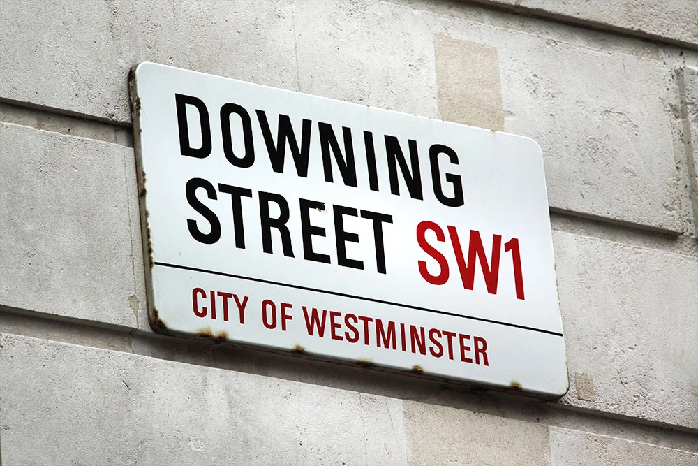
Sir George Downing developed this street around 1680. It has been associated with Prime Ministers since 1730.
14. Fleet Street
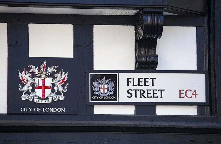
The Fleet is probably the most famous of London’s lost rivers, running from the ponds on Hampstead Heath to the Thames at Blackfriars. The name is from an Anglo-Saxon word for a tidal inlet. It was navigable as far as today’s Holborn Viaduct in the early 1660s, but rapidly went into decline due to the volume of rubbish thrown into it. It was finally arched over fully in 1766.
15. Great Scotland Yard
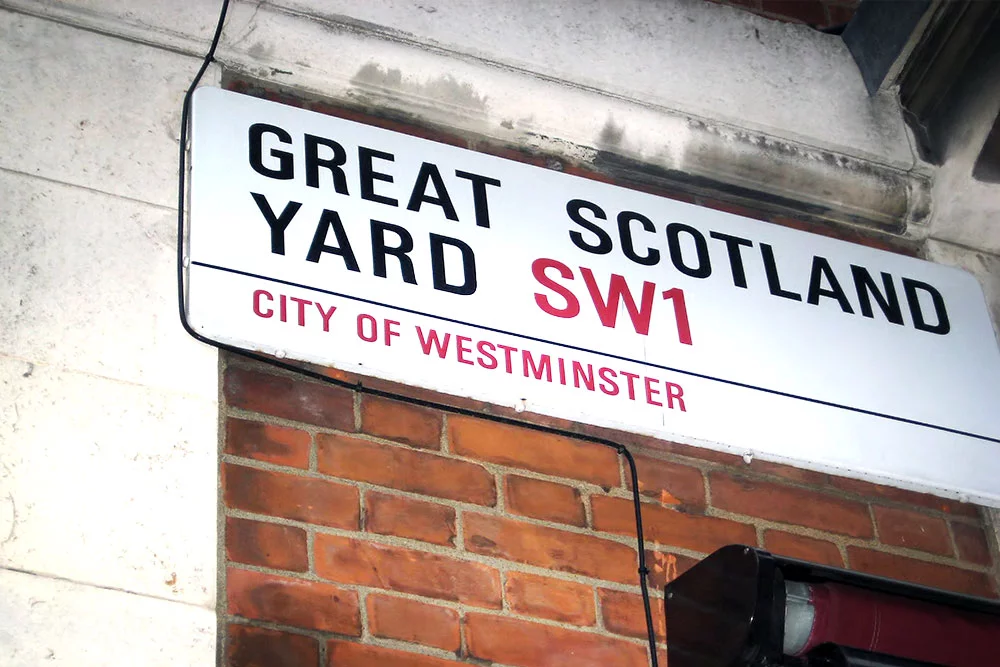
On the road between Charing Cross and Westminster (now known as Whitehall), a plot of land was given by a king of England to one of the Scottish kings, so that the Scottish king could have a place to stay when attending Parliament. Accounts differ on which kings were involved. A police station which opened on the site in 1829 became the headquarters of the Metropolitan Police, and the name of Scotland Yard has subsequently been transferred twice as the police HQ has moved buildings.
16. Holborn
The Holebourne is either a tributary of the Fleet river or the lower part of the Fleet river (sources vary). The name means “stream in a hollow” (literally, hollow-stream).
17. King’s Cross
King’s Cross railway station stands by the junction where a monument to King George IV stood from 1830 to 1845. It was built at the crossroads of Gray’s Inn Road, Pentonville Road and New Road, which later became Euston Road. It was sixty feet high and topped by an eleven-foot-high statue of the king, and was described by Walter Thornbury as “a ridiculous octagonal structure crowned by an absurd statue”.
18. Knightsbridge
Named after a bridge over the Westbourne river, which flows south to the Thames. Legend has it that two knights duelled to the death at the bridge, which was located near the Albert Gate of Hyde park. The name was given to the village here before the eleventh century, and as London expanded it became the name of both the road and the area.
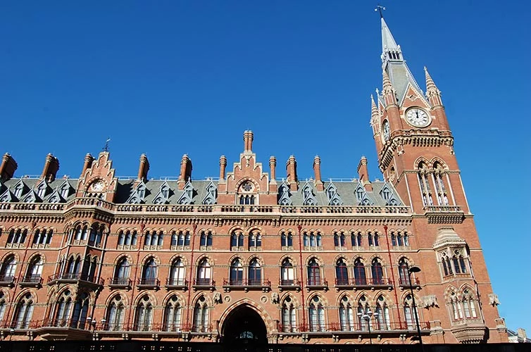
19. Liverpool Street
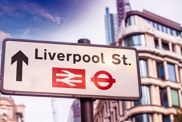
This road was originally called Old Bethlem, after the hospital for the insane which was founded after the Dissolution on the site now occupied by Liverpool Street station. The road was widened and 1829, and renamed after Lord Liverpool, Prime Minister from 1812-1827.
20. Ludgate Hill
Named after one of the Roman gates into London, the Lud Gate, which was apparently first constructed by King Lud in 66 BC. The gate survived until 1760. St Paul’s Cathedral is located on top of Ludgate Hill.
21. The Mall
Created in around 1660, and replaced Pall Mall as the place where the King would play the game of pallo a maglio (an Italian game which inspired such sports like golf, croquet, and hockey). It later became a fashionable place for taking a promenade.
22. Mayfair
A festival was held at nearby Shepherd’s Market every spring until the 1730s. It was known as the May Fair.
23. Oxford Street
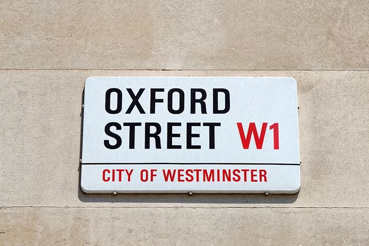
Oxford Street follows the route of a Roman road, the Via Trinobantina, which linked Calleva Atrebatum (near Silchester, Hampshire) with Camulodunum (now Colchester) via London and became one of the major routes in and out of the city.
Between the 12th century and 1782, this road was known as Uxbridge Road (this name is still used for the portion of the London-Oxford road between Shepherds Bush and Uxbridge), Worcester Road and Oxford Road.
24. Piccadilly
This unusual name was given to the road in which the shop of Robert Baker could be found. Baker was a tailor in the early seventeenth century who had done well for himself and this business by selling stiffened collars known as ‘picadils’, which were highly fashionable at the time.
25. Portobello
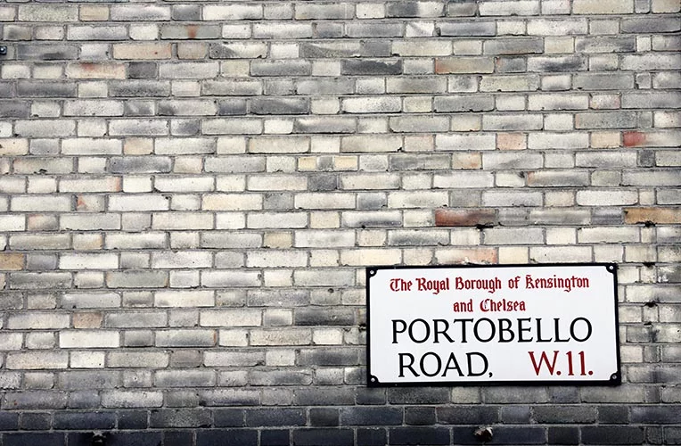
This road, famous for its market, takes it name from a farm which in turn was named in honour of the British success of the Battle of Porto Bello in 1739. This battle in Panama saw the British navy captured Porto Bello from the Spanish defenders.
26. Seven Dials
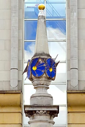
A junction of seven streets just to the east of Cambridge circus. It originally had a pillar with six sundials mounted on it, this was removed in 1773. A replacement to the same design was re-erected in 1989 and unveiled by Queen Beatrix of the Netherlands. The reason for the pillar having six dials is not fully explained, but an early plan for the area shows only six streets meeting at the junction. An alternative idea is that the pillar itself forms the seventh sundial.
27. Shaftsbury Avenue
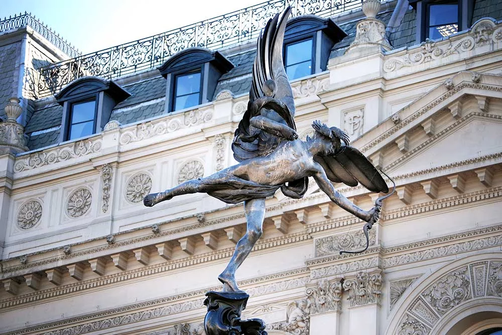
The seventh Early of Shaftsbury (1801-1885) was a Conservative peer with a strong interest in the welfare of children and factory reform. The statue in Piccadilly Circus, commonly knows as Eros, is the Shaftsbury Memorial, and depicts the Angel of Christian Charity. The angel is shown having fired an arrow towards the ground in Shaftsbury Avenue; this is a visual pun, with the shaft being buried.
28. Shoreditch High Street
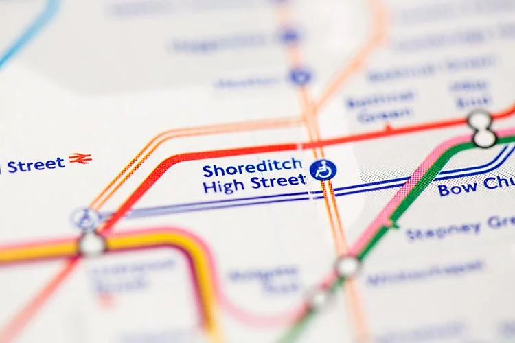
Rather than being the shore of a river, as might be thought, the name comes from an unknown person called Sceorf or Scorre, after which a ditch was named. A settlement of Scoredirch was recorded in 1148, lying at the junction of two Roman roads (Kingsland Road and Old Street).
29. Soho Square
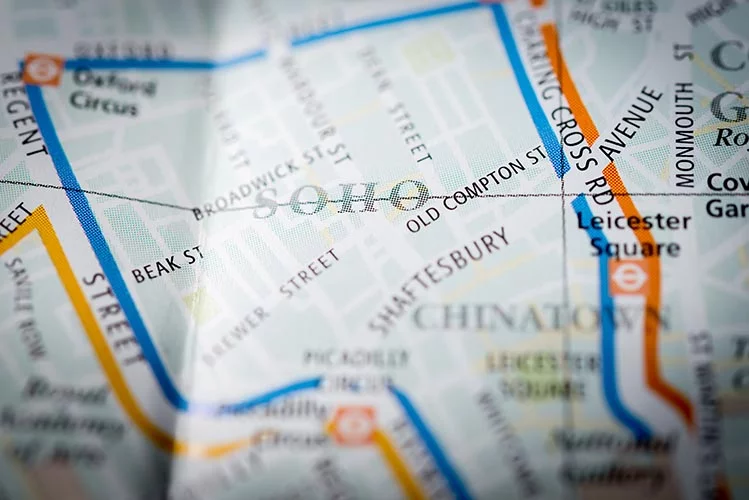
Soho is the name given to the area of London bounded by Oxford Street, Charing Cross Road, Leicester Square and Regent Street. The name is thought to derive from the hunting cry “So-ho!”, as the area was a royal hunting ground in the sixteenth century.
30. Southwark Bridge/Street
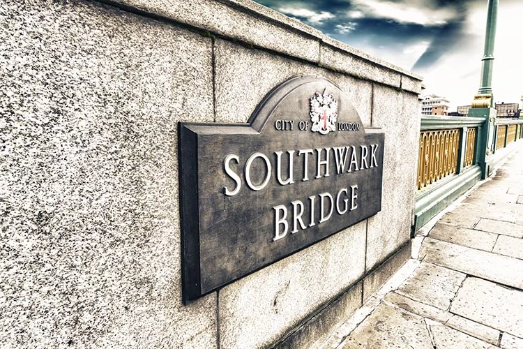
Southward was where the Romans constructed their defensive works for the south of the City of London – hence the South work (or in Old English, the suth weorc). This has changed to the current spelling. The first bridge was opened in 1819, and current bridge in 1921.
31. Vauxhall Bridge
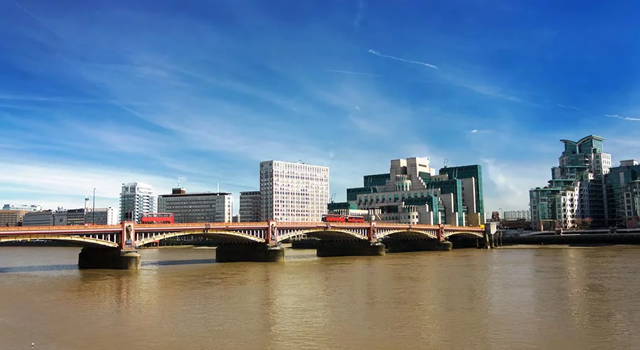
Vauxhall is a corruption of the name of a house, Fulke’s Hall, which in turn took its name from Sir Falkes de Breauté, a thirteenth-century Anglo-Norman soldier who acquired the manor through marriage. Over time the house became Faukeshall then Foxhall, and further corruption took the name of the area of Vauxhall.
The name has even entered Russian to mean railway station. The bridge opened in 1906.
If you liked this, don’t miss these!
- 9 Perfectly Correct English Phrases That Will Break Your Brain
- 20 Hidden Meanings of English Place-Names You Probably Didn’t Know
- 30 Incredible Stories Behind English Idioms and Phrases You Use Every Day
- 10 Unusual Things to do in London You Never Knew About
- 10 Bizarre Ways to Say ‘LOL’ in Different Languages
- Blond or Blonde: Why Do Genders in English Exist?
- 25 Wonderful Phrases Shakespeare Invented that You Use Every day
- Transatlantic Accent: Why Did Actors in Old Movies Have Weird Accents?
- 15 Country Flags and their Hidden Meanings You Won’t Be Able to Un-see
Sources Excerpts taken from What’s in a Street Name?
Over to you!
What other London street names would you like to know the origins of? Do you know any others?
Let me know using the comments section below or join me on social media to start a conversation.
Thanks for reading and I hope you enjoyed this post.
Like what you see? Subscribe using the form below to have all of my posts delivered directly to your email.
2 comments
I would really love to know how Harmood Street in North London came to be named so or how to find out.
Hi James, I’m not sure about that one. It sounds like someone surname though.